This is one of the steepest established trails in Joshua Tree National Park, ascending 1060 feet in just 1.4 miles. The route begins at a large parking lot on the southern side of Park Boulevard, just past Ryan Campground to the west and Sheep Pass Campground to the east.
Don’t expect to be alone on this ascent. This is one of the most popular trails in the park. Try to get going just after sunrise and you might get the peak to yourself. Or, head up to watch the sunset for some truly spectacular desert color.
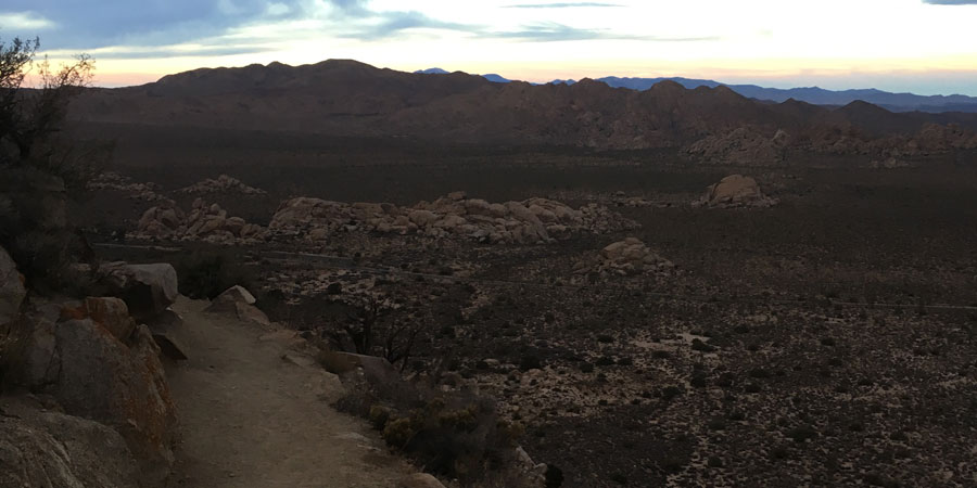
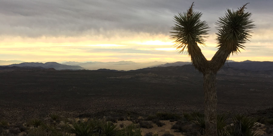
Early morning color on the way up Ryan Mountain
The route winds around the northwestern flank of the mountain, passing a junction with Sheep Pass Connector Trail after 0.2 miles.
The trail itself is in very good condition. Stairs and well placed markers make this an easy route to follow. Do pay attention for the occasional loose rock and moderate exposure as you get higher up on the mountain.
Unless you’re a rock climber, this is the only way to get an up-close view of the tallest rock formations in the park -- Saddle Rocks. This 400 foot tall rock formation is home to a few iconic climbing routes in the park. The most famous one, A Walk on the Wild Side (5.8+), is considered a must-do for visiting climbers. Hikers can enjoy the views of the rocks as the hike continues winding 0.7 miles up the mountain.
Overlooking Saddle Rocks at Sunrise
At 0.9 miles, the route tucks into a small saddle below the summit, providing hikers a brief respite from the ascent. Another 0.5 miles of travel brings you to the top of the peak.
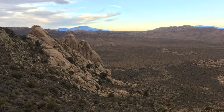
A large cairn marks the top with a summit register where you can add your name. From the top, look north towards the Wonderland of Rocks, southeast into Pleasant Valley, far east into Pinto Basin, southwest towards the Little San Bernadino Mountains, and west to Ryan Campground.
Ryan Mountain summit